Our Domains
Agriculture
Agricultural production is crucial, not only for food security but also as the backbone of a large range of industrial domains. Mapping and monitoring agricultural landscapes is crucial to support farmers and institutions in increasing production, improving efficiency and helping to make informed decisions. Earth Observation allows to observe even very large areas (regions, countries or continents) repeatedly at low cost for production monitoring, crop health tracking or yield prediction.
We approach this topic from the bottom up by producing the most fundamental data first: accurate, up-to-date field maps. Our system goes beyond just mapping agricultural fields or highlighting field boundaries. Instead, it automatically extracts geolocated field polygons at scale and prepares them for direct use in GIS or further downstream applications.

Forestry
Forests worldwide are of great environmental, social and economic interest. Understanding their health, expansion or reduction in different regions as well as their role in the Earth’s ecosystem is vitally important. Forest mapping, detection of deforestation and biomass estimation have moved into focus in recent years. Beyond that, however, sustainable management of forests, tree growth analysis and forest management (incl. forest fire prevention, warning and mitigation) are central topics in many parts of the world. Earth Observation supports these efforts at scales not met by any other data source and enables national or even global monitoring.
Energy
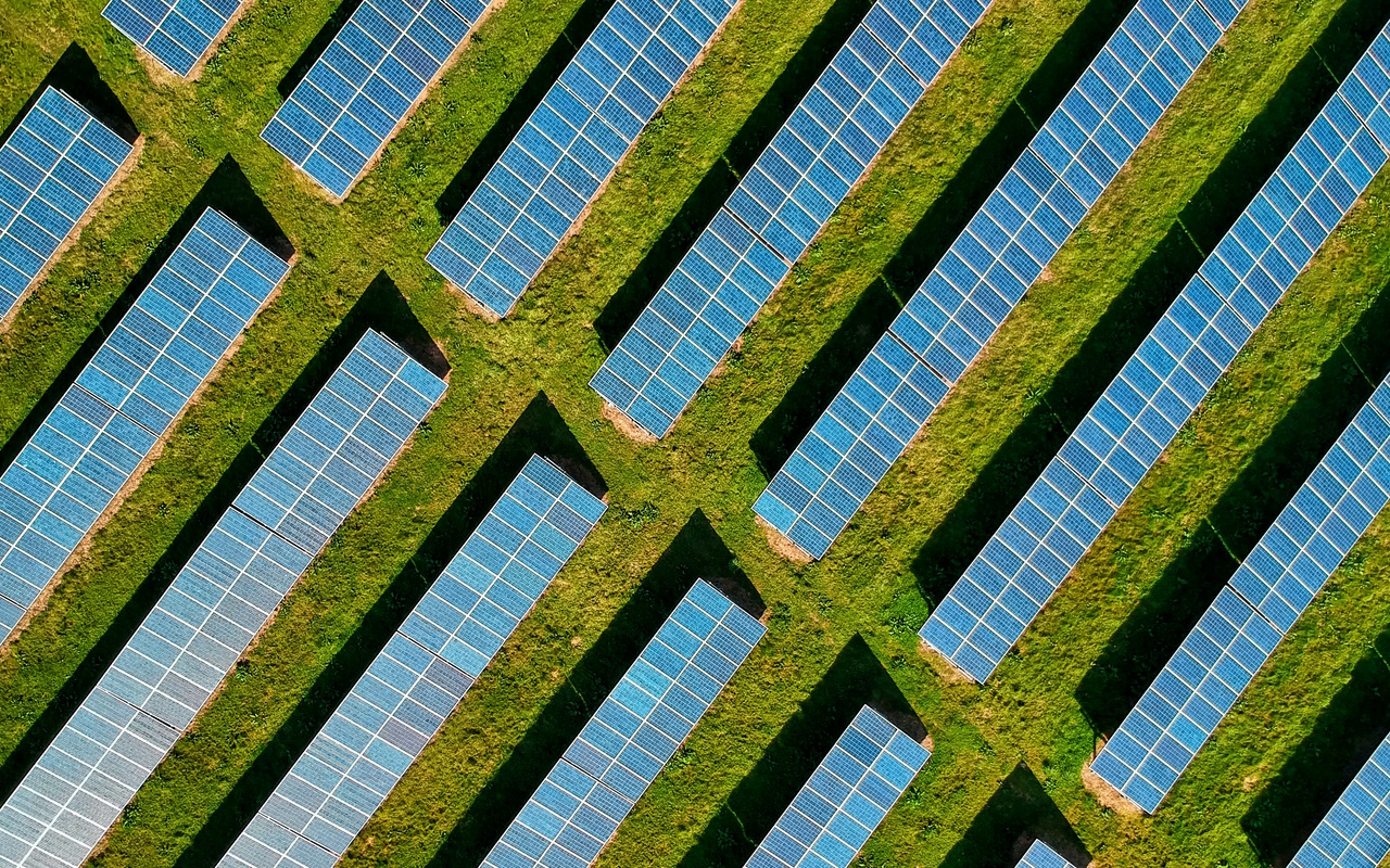
Safe and reliably energy production and delivery is essential for any advanced economy. Not only is it a basic requirement for modern life but also the foundation for any advanced industrial and manufacturing industry. Supporting safe and reliable energy production requires both high-quality data and state-of-the-art analytics. The most prominent examples of Earth Observation data use include optimal site selection (for energy production equipment, facilities and infrastructure), monitoring of infrastructure (e.g., maintenance requirements, damage detection but also environmental impacts).


Infrastructure
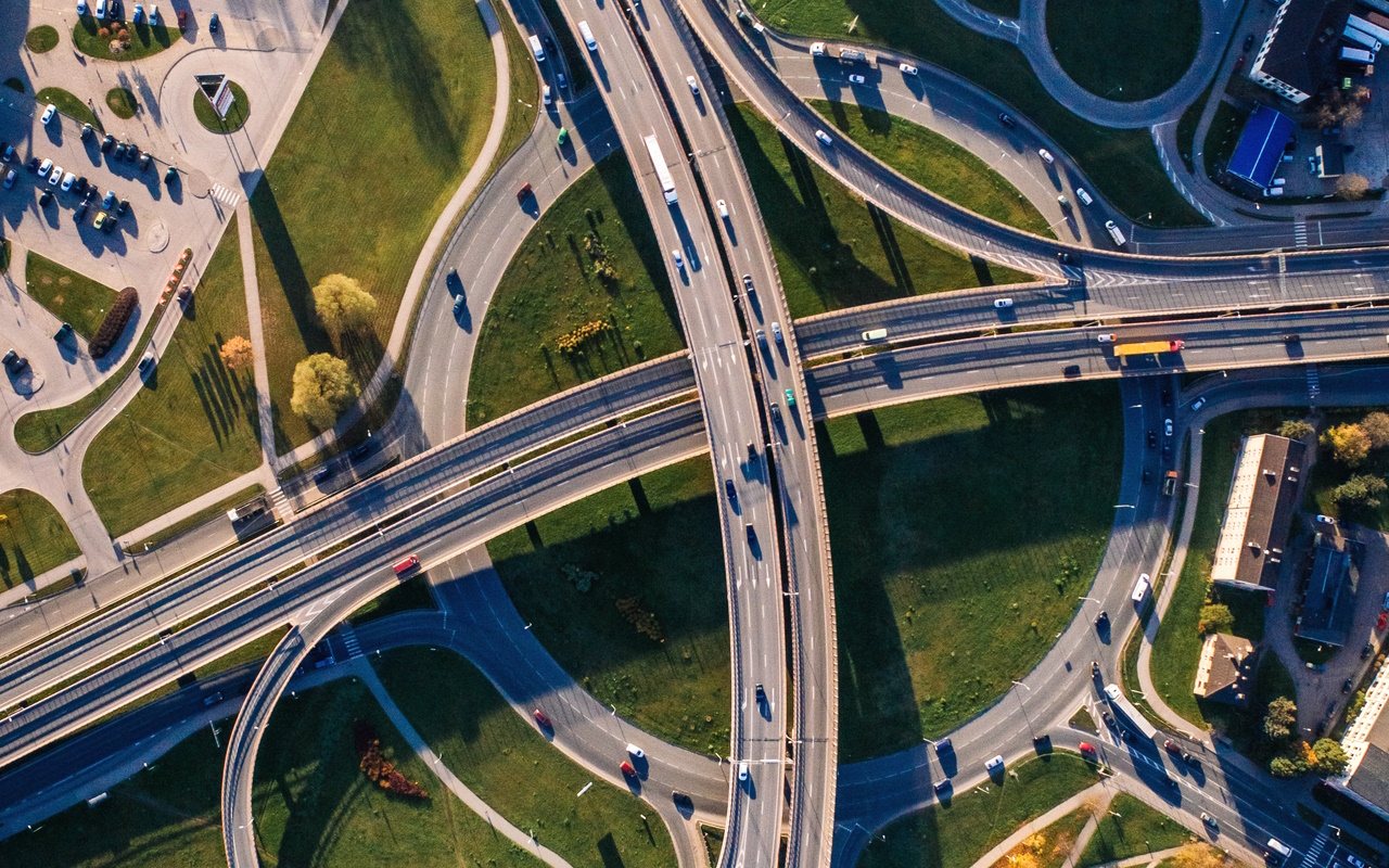
Our infrastructure is one of the most vital elements of any country. It is the backbone for transportation, trade, industrial production, travel and the everyday life people are often taking for granted. Ensuring its efficient construction and maintenance as well as safety and reliability is of utmost importance for any modern society. Remote Sensing can aid in every stage of infrastructure development, from planning, terrain characterization and site selection to monitoring, hazard detection and safety management. Efficient Deep Learning methods for Earth Observation data analysis enable continuous monitoring as well as early warning efforts.
Security
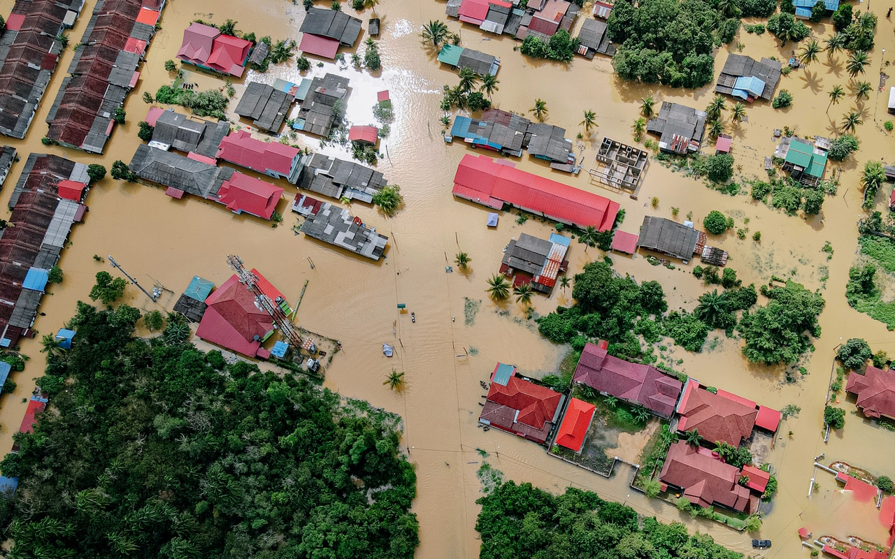
Providing timely data on potential security threats and risks is an essential part of modern civil security. This includes monitoring of critical infrastructure but also risk assessment and emergency response. Remote Sensing data is of great importance due to repeated observations, often in near-real time allowing for quick responses to potential risks. It also helps make better safety decisions and planning, incl. emergency response plans.


